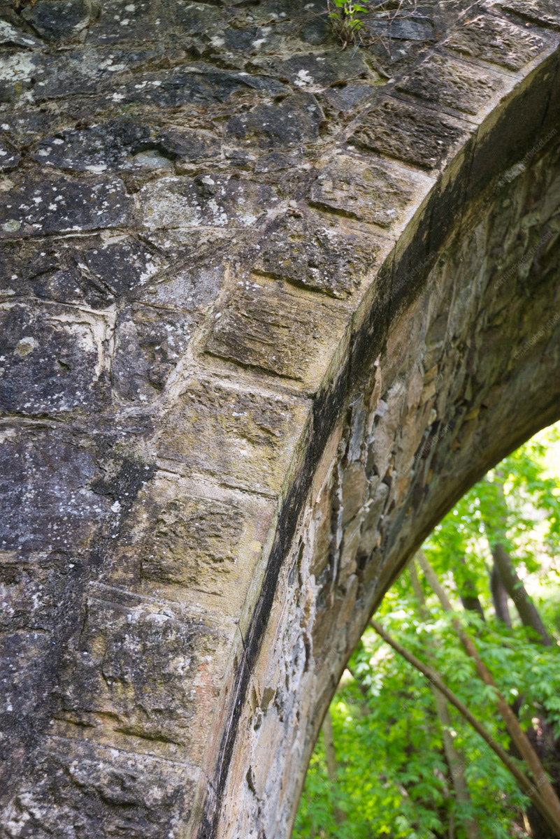
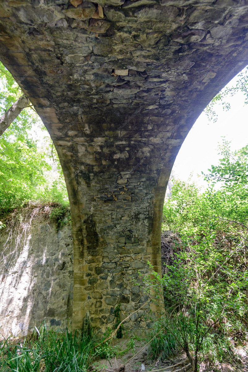
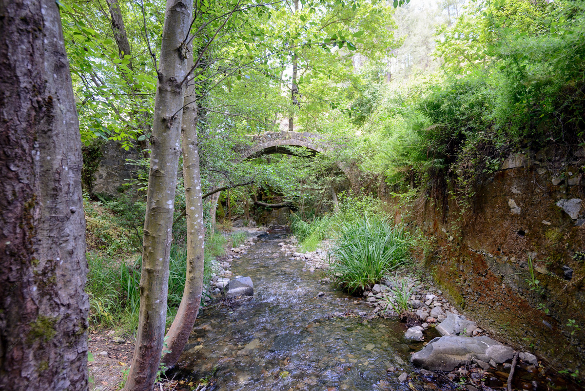
The Republic of Venice dominated much of the eastern Mediterranean during the middle ages, including full control of the island of Cyprus from AD 1489 to AD 1570. During this period, the Venetians greatly invested in improving the island's infrastructure to best exploit its many resources - most notably ore from the mines of the Troodos mountains. Among these improvements, the Venetians established an extensive network of roads and trails across the island, including the construction of distinctive arched stone bridges, used to carry copper and iron ore from the mountains to the sea.
Island-wide, twenty-seven bridges have been designated ancient monuments by Cyprus' Ministry of Antiquities. We visited six bridges, thus far. Of these, two (the Tzelefos and Elia Bridges) are fairly well-known to tourists and easily accessible, while two others (the Mylos and Treis Elies Bridges) are a bit harder to get to. Two other visited bridges are the Milia Bridge, in a different part of the Troodos Mountains near Platres, Cyprus, and the Ana Bridge spanning the Peristerona River in Peristerona, Cyprus, west of Nicosia.
The first four bridges were at one time in sequence along a medieval caravan road, which traversed the western Troodos Mountains through the Marathasa valley. The road connected the coastal cities of Morphou and Paphos, passing through the mountains via a number of mountain villages. A principal trade route, this Kamilostrata (or “camel way” - camels were widely used on the island) was particularly important for the transport of copper, timber, and a variety of agricultural goods from the mountains to the port of Paphos. Apparently, caravans of 100 to 200 ore-carrying camels were common. The Milia Bridge was on a similar road that connected the Troodos with the coastal city of Limassol; and the Ana Bridge was on a route that connected the capital Nicosia to Morphou - one still used today.
Tzelefos Bridge
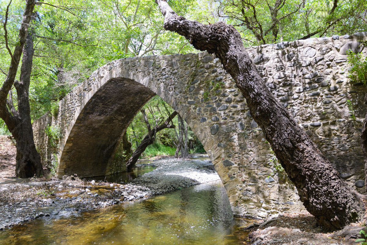
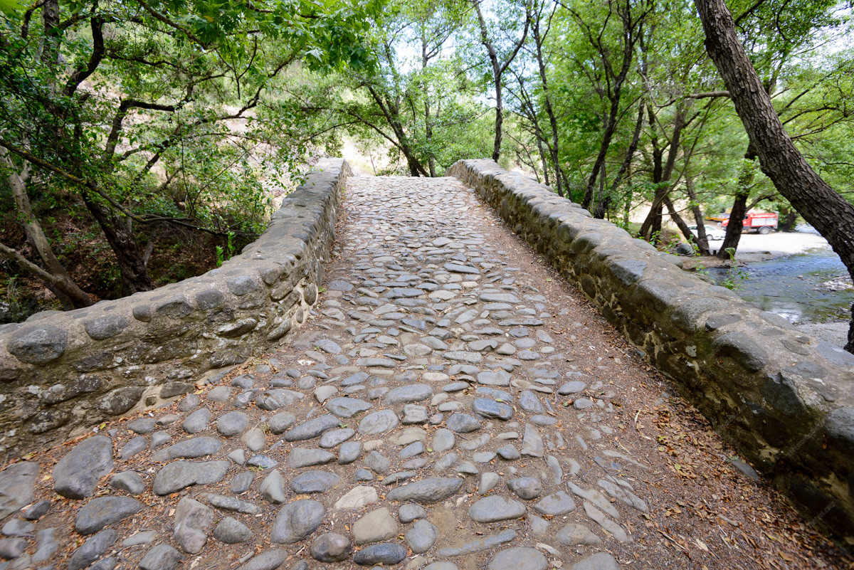
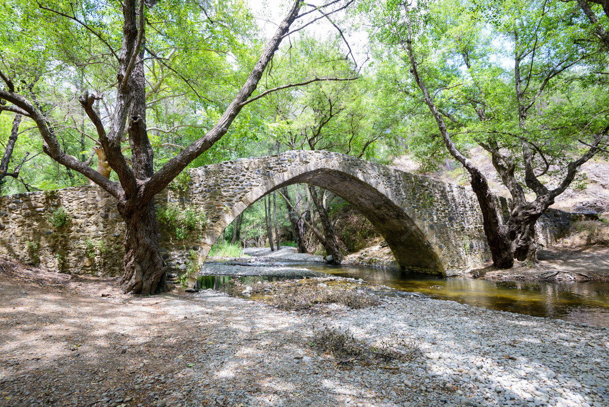
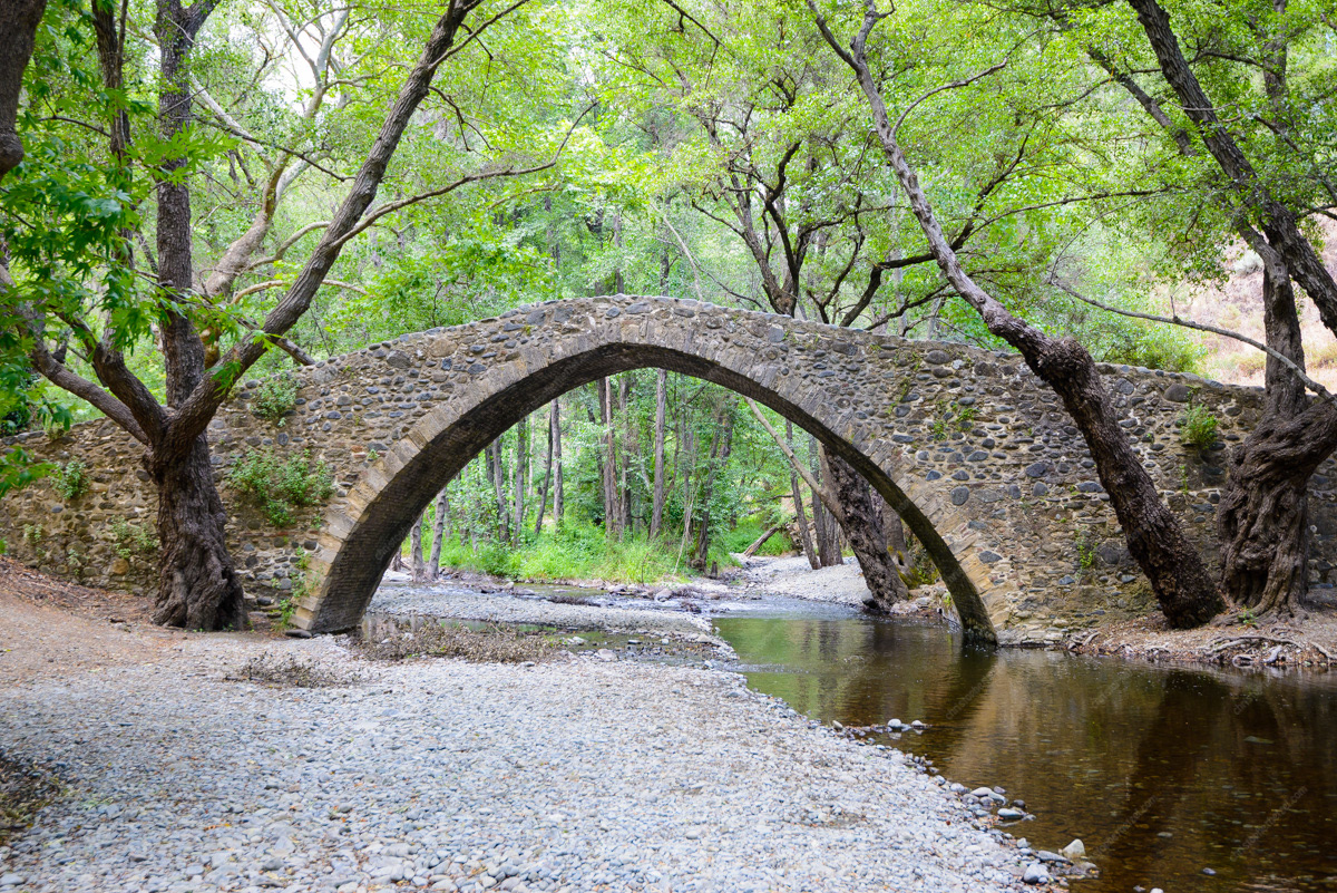
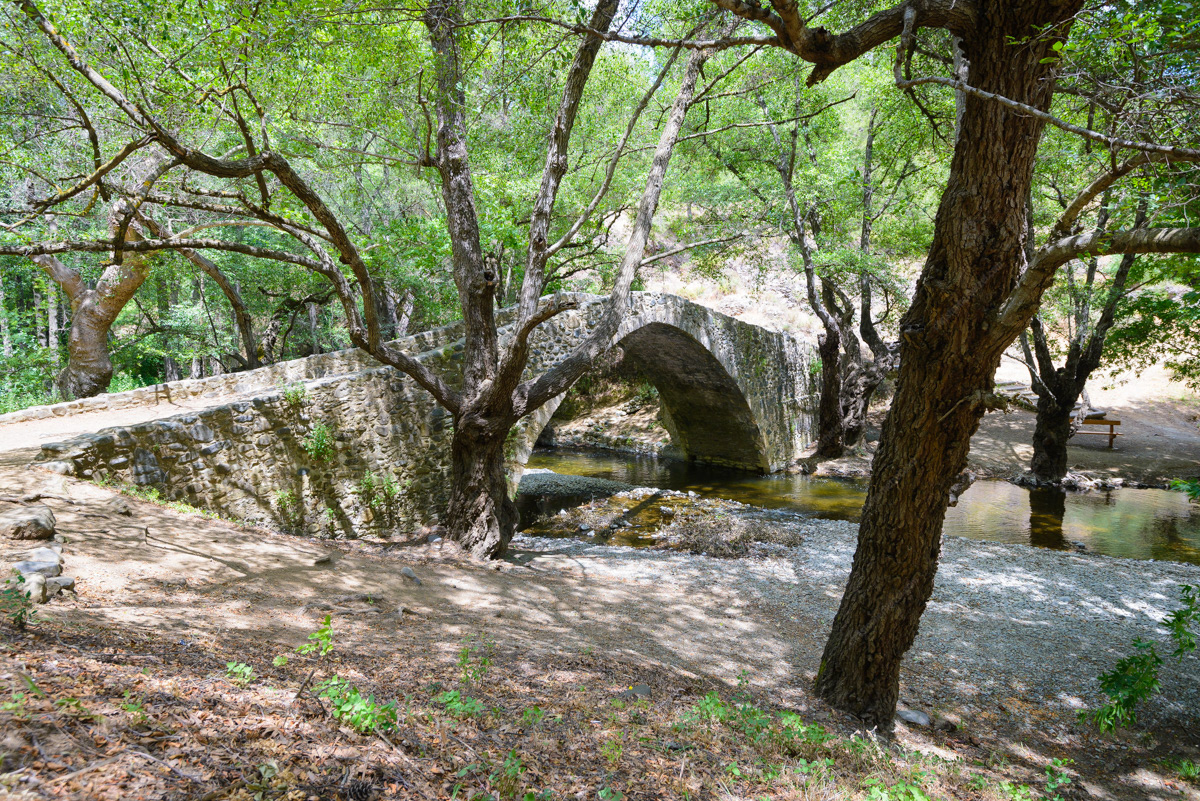
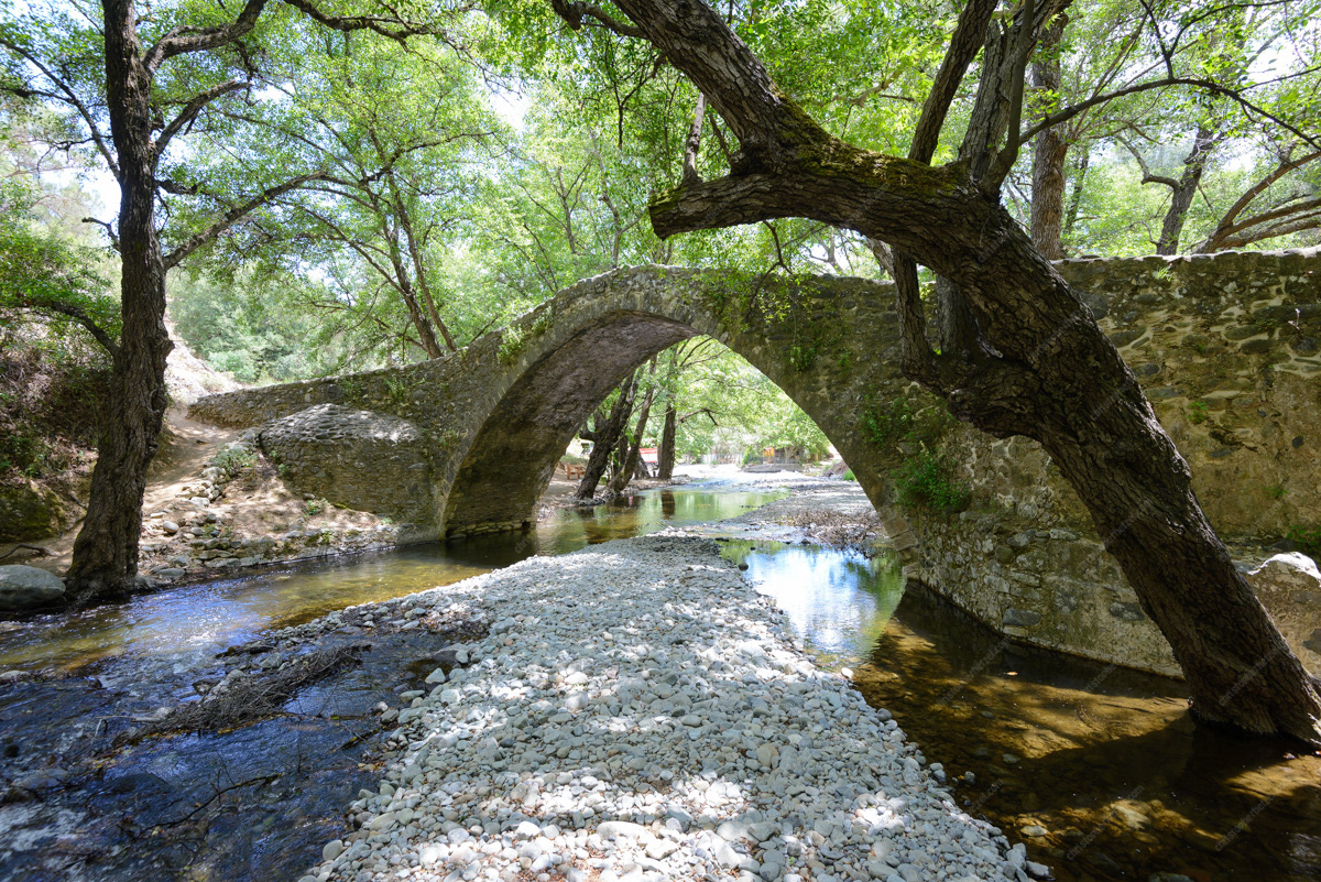
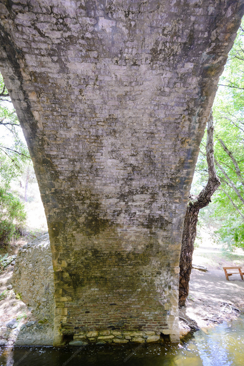
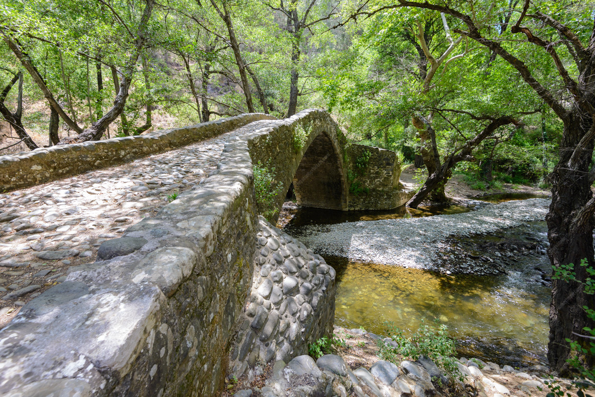
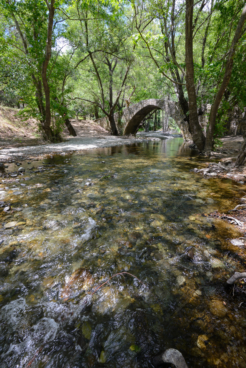
Elia Bridge
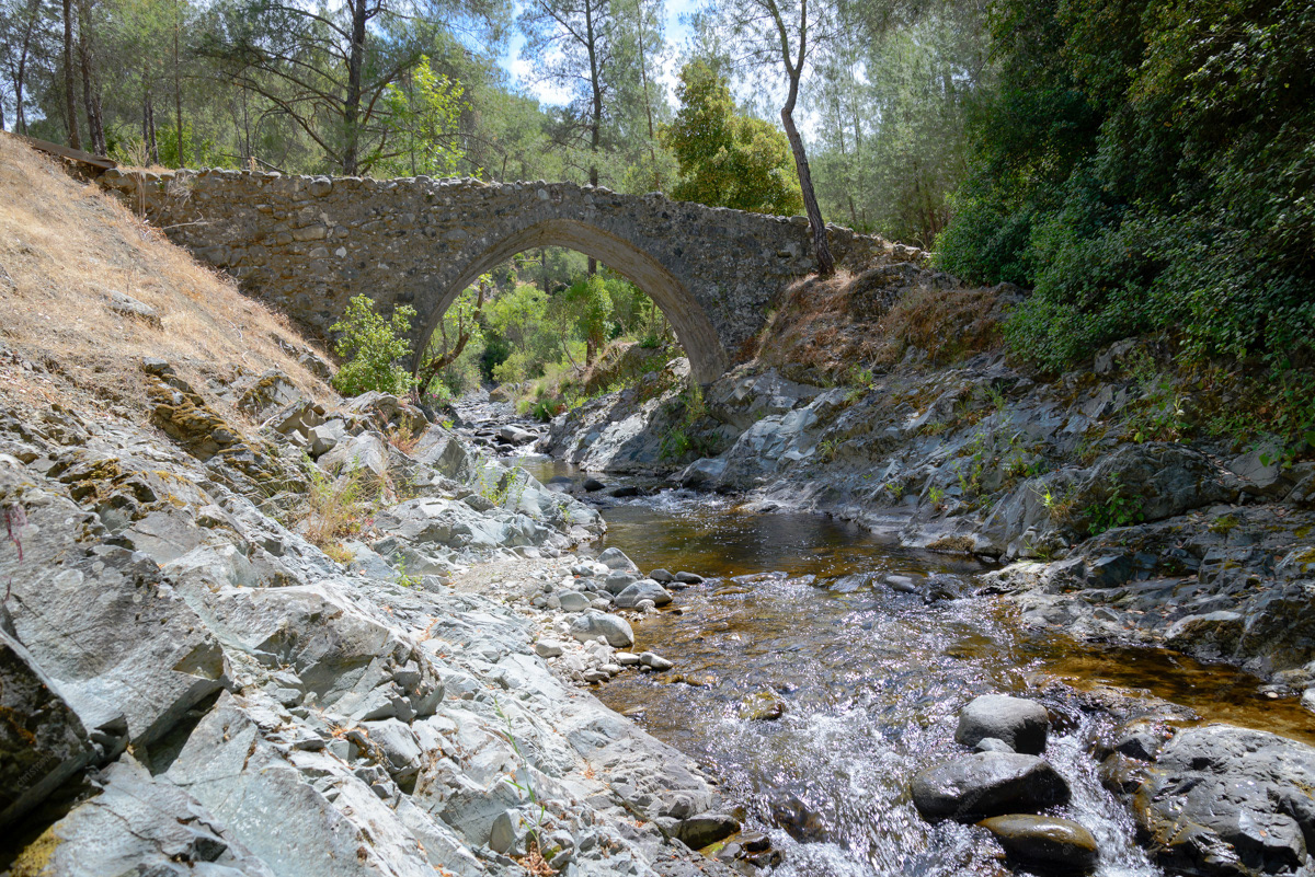
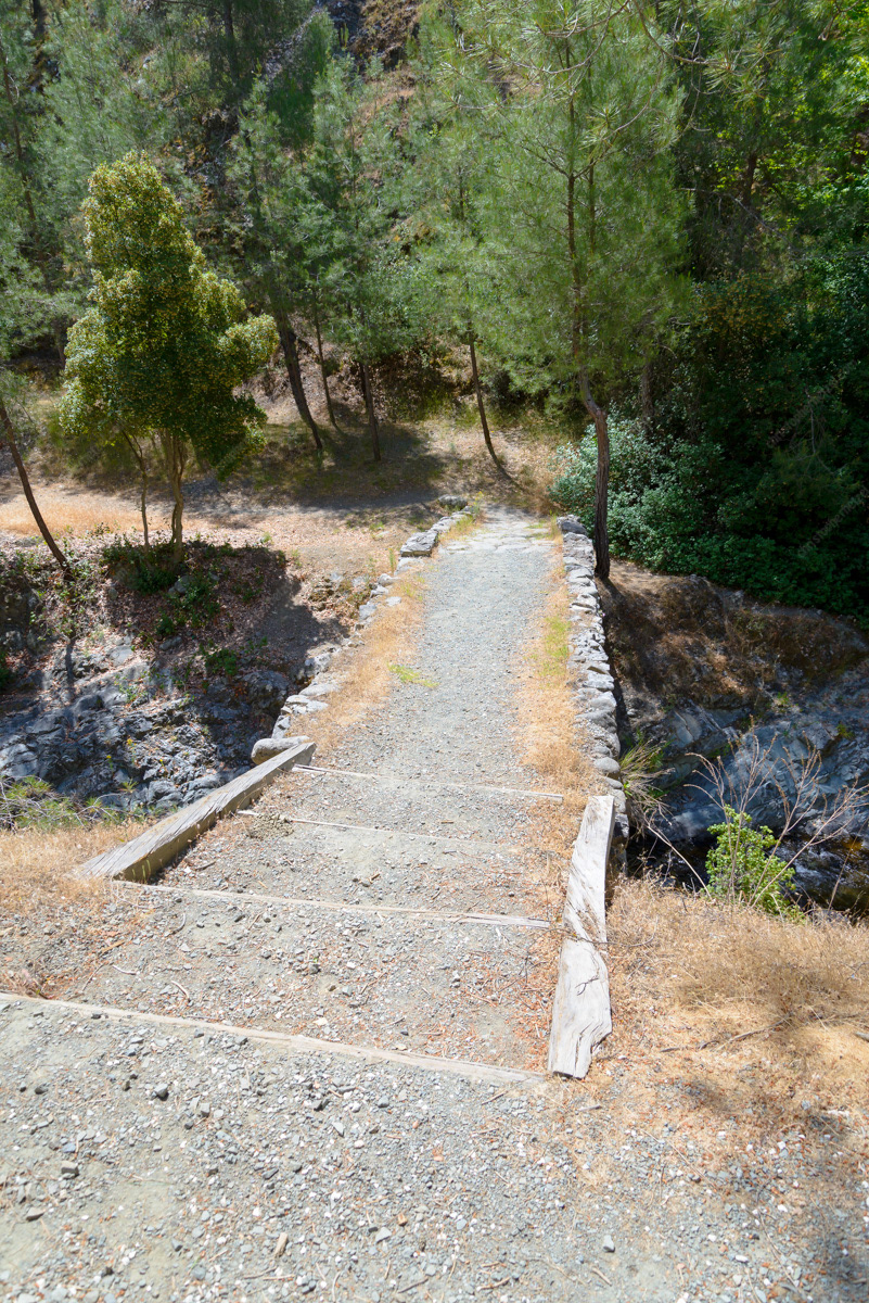
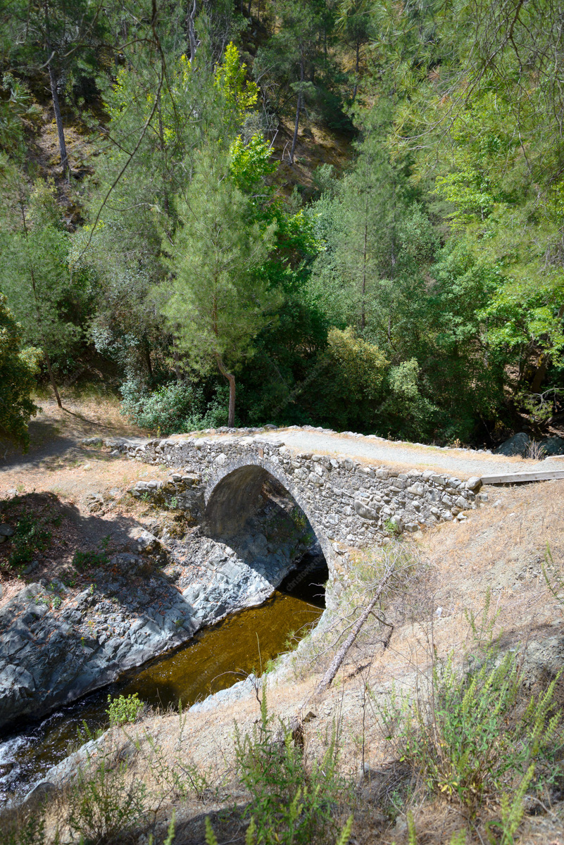
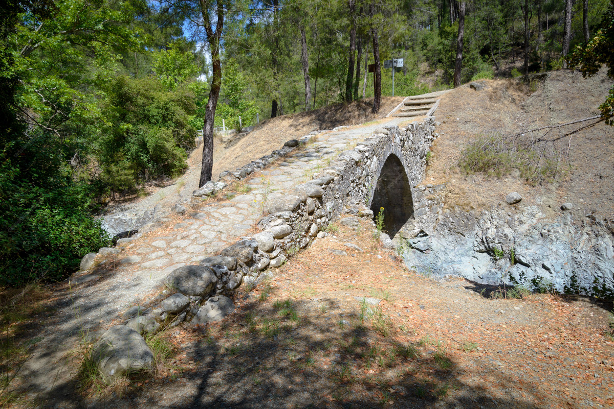
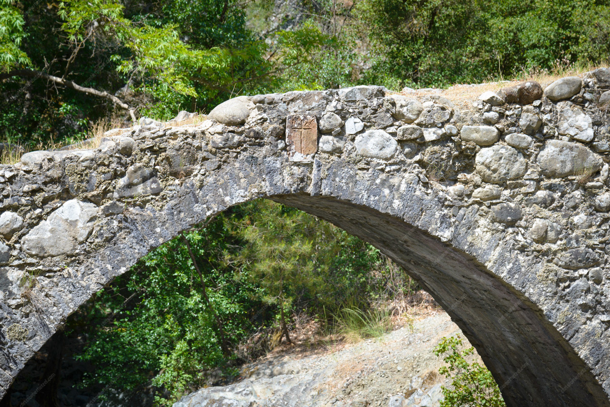
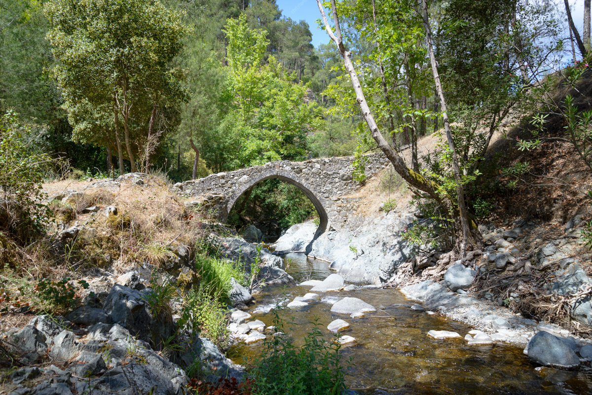
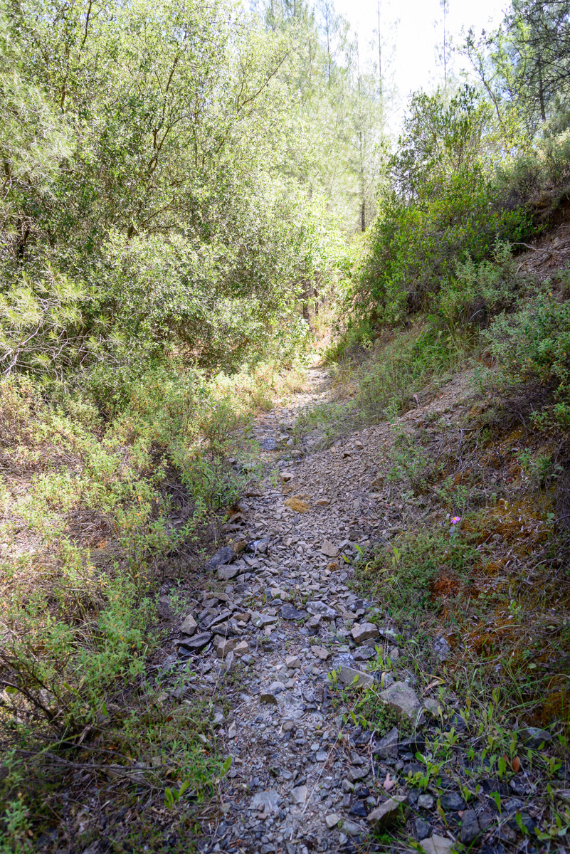
Mylos Bridge
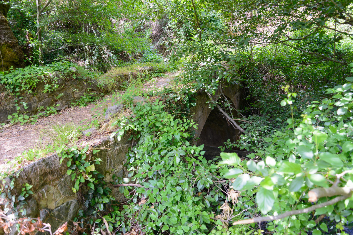
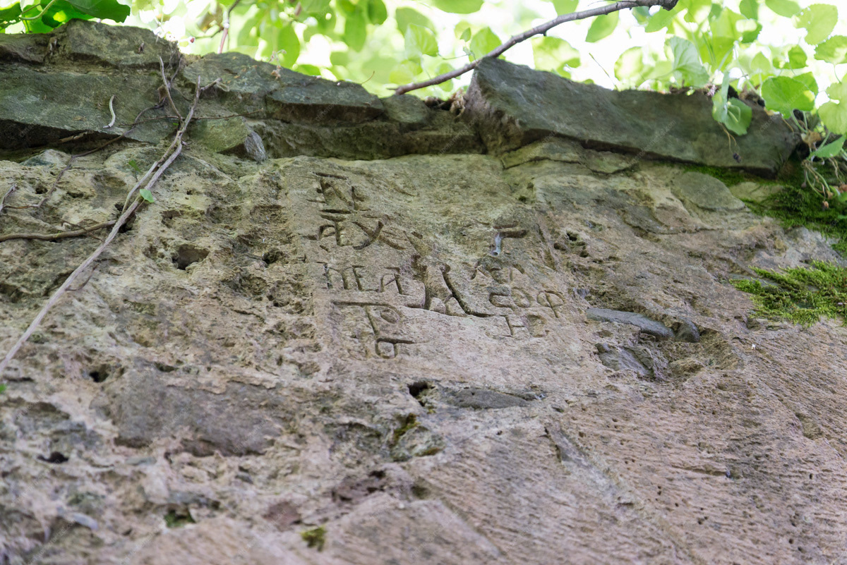
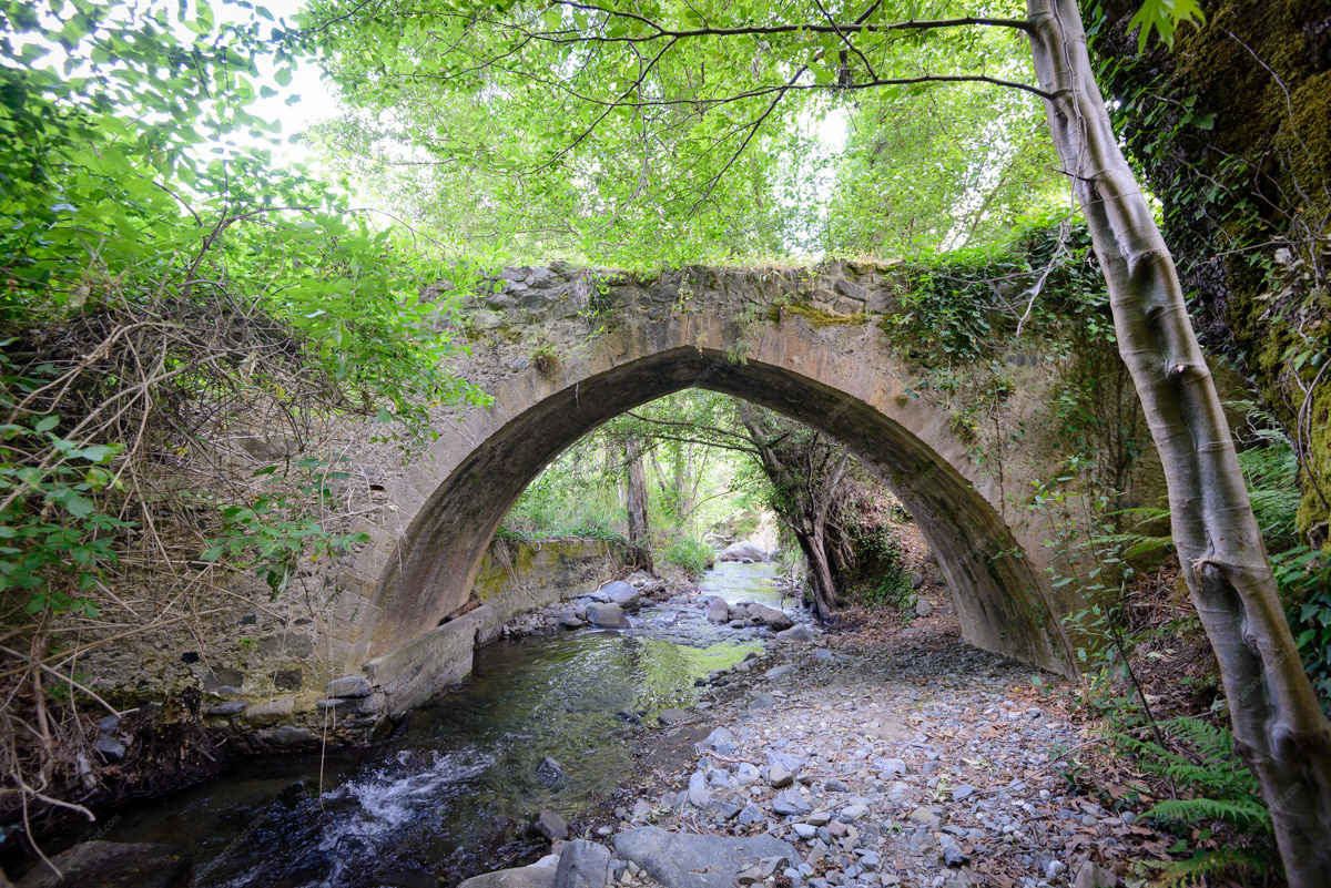
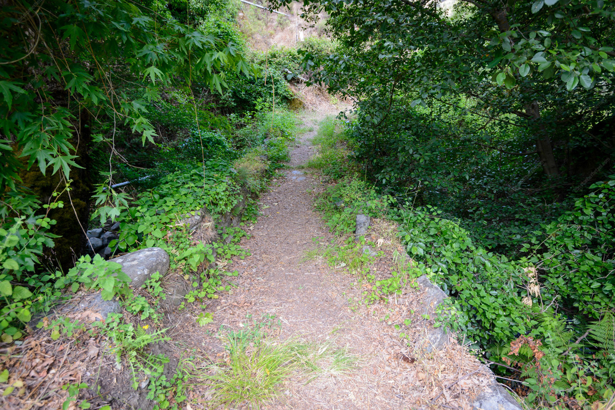
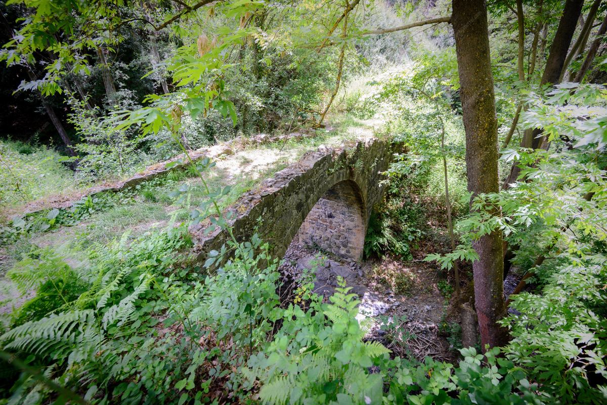
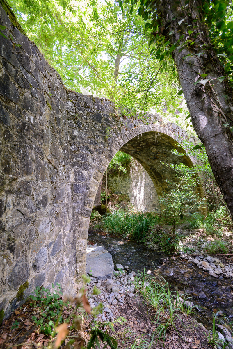
Treis Elies Bridge
(Return to Cyprus)
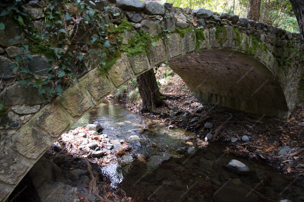
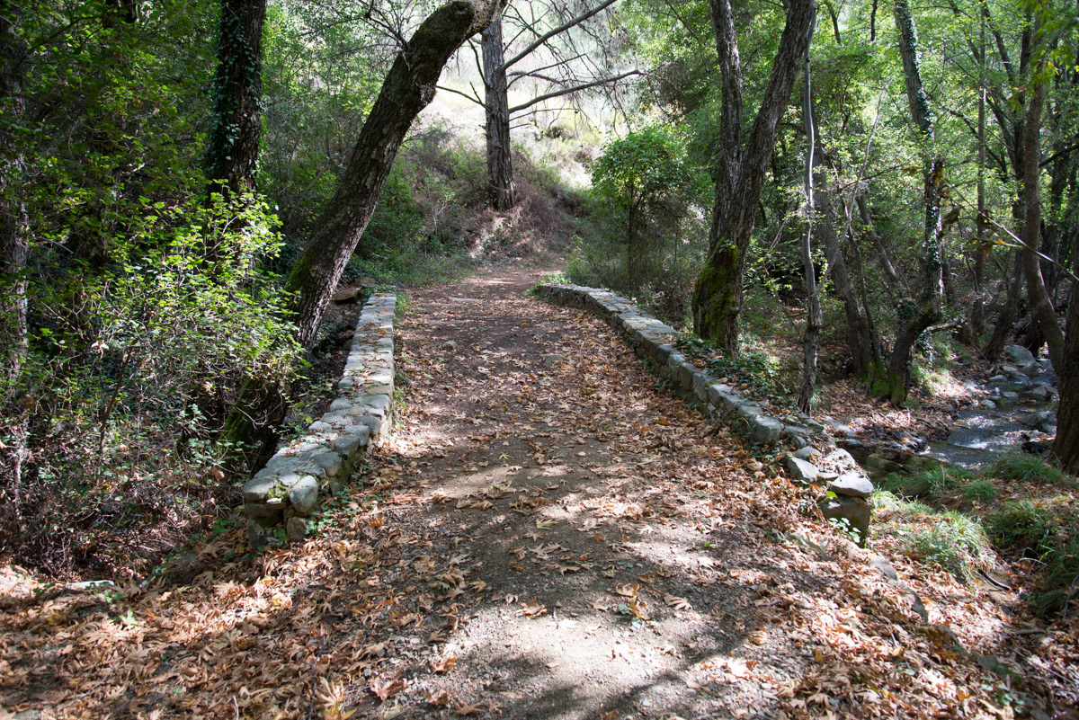
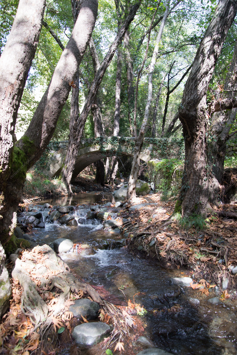
Milia Bridge
Ana (Peristerona) Bridge
